Overall Objective:
The aim of MyCOAST is to enhance the capability of risk management systems in the Atlantic region by improving co-operation between, observational and forecasting systems, and end users. MyCOAST aims to build a coordinated Atlantic Coastal Operational Observatory in the Atlantic area joining capabilities from all the 5 partner states and from existing cross-border cooperation activities, all targeted towards the improvement of coastal monitoring and forecasting tools to support threat and emergency response.
The technical networking and specific synergies will strengthen the use and the dissemination of downstream applications of the Copernicus Marine and Environmental Monitoring Service (CMEMS) in order to address the common challenge of resilience of the coastal area to risk. The proposed data management tools will promote information sharing and interoperability between coastal observatories and the common European information sharing systems. To ensure effective implementation, the risk management tools will be developed and validated jointly with the key actors involved in managing and preventing coastal risks like flooding and coastal erosion, those in managing water quality issues, and those responsible for managing maritime safety and response to pollution incidents.
Finally MyCOAST will improve the awareness of these risks in the Atlantic Area, and identify and promote opportunities for the private sector.
Common Challenge:
The common challenge addressed by MyCOAST is the need to secure an improved capacity of the Atlantic territories to manage the existing risks. The identified opportunities in the European blue economy along the Atlantic coast coexist with natural and anthropic threats in a coastal area that are often highly impacted and potentially sensitive.
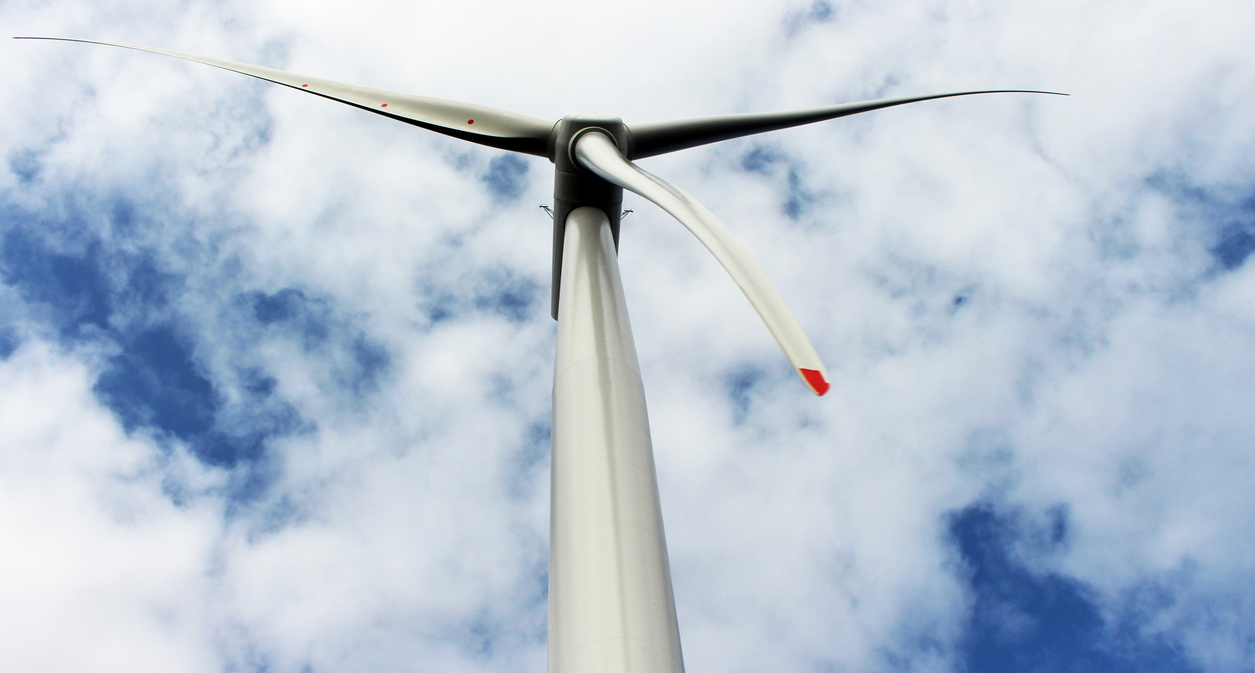
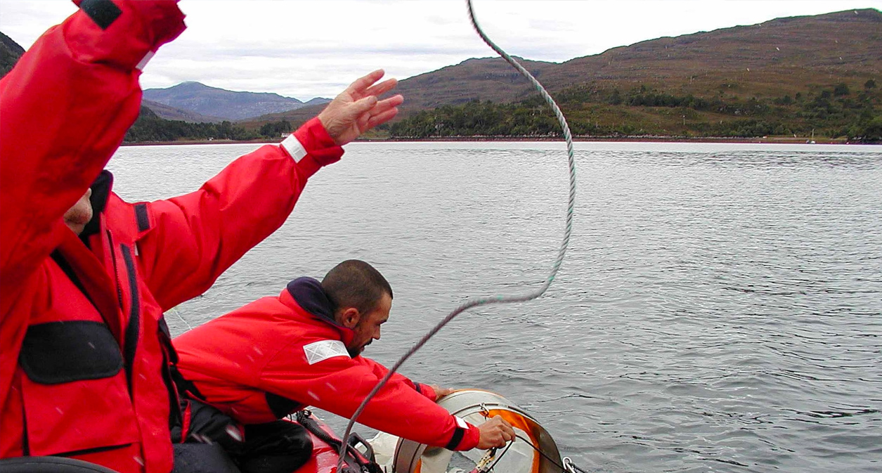
Extreme storms, resulting in high water levels and large waves have brought significant material damage and occasionally human cost. Increasing activities in the field of renewable energy or offshore aquaculture need reinforced environmental monitoring and prevention systems. Maritime security is a priority for transport and for an increasing number of sea operations. Another important challenge is the prevention of pollution and clean up post-contamination. All these important issues in the Atlantic area need an integrated interoperable smart system that will join European, national, regional or local infrastructures and allow sustainable monitoring and prevention systems.
The coordinated system proposed for the Atlantic area will be built on existing cooperation at transnational or cross-border level (funded in previous relevant programmes) in order to seek and exploit synergies and stimulate an exchange and transfer of experience on specific areas.
The Partnership:
The project partners are:
- Fundación AZTI – AZTI Fundazioa (AZTI). Lead Partner
- Instituto Español de Oceanografía (IEO)
- Instituto Tecnolóxico para o Control do Medio Mariño de Galicia (INTECMAR)
- Foras na Mara (IMI)
- Universidade de Santiago de Compostela (USC)
- Service hydrographique et océanographique de la marine (SHOM)
- Puertos del Estado (PdE)
- Institut Français de Recherche pour l’Exploitation de la Mer (IFREMER)
- Centre for Environment Fisheries and Aquaculture Science (CEFAS)
- Instituto Superior Técnico (IST)
- Plymouth Marine Laboratory (PML)
- Marine Scotland (MSS)
- Dirección Xeral de Calidade Ambiental e Cambio Climático (DXCACC- MeteoGalicia)
- Instituto Hidrográfico (IH)
- Qualitas Instruments Lda (QUALITAS)
In addition, the following are associated partners:
- Subdirección Xeral de Gardacostas de Galícia. Consellería do Mar (Guardacostas Galicia)
- European Global Ocean Observing System (EuroGOOS AISBL)
- Scottish Environment Protection Agency (SEPA)
- Grand Port Maritime de Bordeaux (GPMB)
- Câmara Municipal de Lisboa (CML)
- Dirección de Atención de Emergencias y Meteorología (DAEM)
- Autoridad Portuaria de A Coruña (APAC)
Main Expected Outputs and Results:
A range of outputs will be obtained from the Atlantic Coastal observatories:
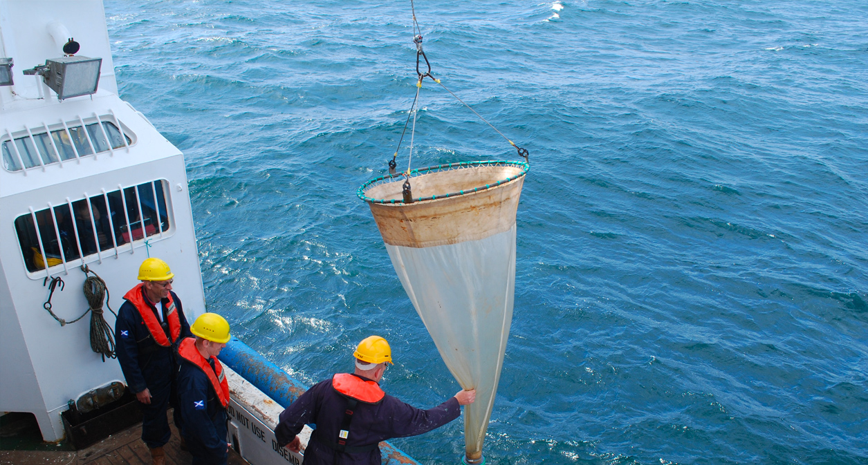
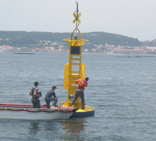
- Integration of the coastal observing systems by sharing data, experiences and resources of the various systems in operation (18 buoys, 15 HF radars, 3 ships of opportunity, 50 drifters, 10 profilers).
- Optimization, validation and intercomparison of 9 forecasting coastal and local tools (cf. following list) connected to the Copernicus system (including nesting challenges with IBI-MFC, process-oriented diagnostics, intercomparison tools, and model output statistics). The 9 coastal systems are from RAIA observatory (IEO, MeteoGalicia, INTECMAR), West Brittany and Aquitaine coast (SHOM), Western Channel Observatory (PML), Smart Bay observatory (IMI), LOREA observatory (AZTI), UK Shelf Wide (CEFAS), Greater Lisbon (IST), Scottish Coastal Observatory (MSS), and SAMOA local observatories (PdE).
- Development of standardized and interoperable data systems, delivering real-time observations and model outputs, in the 9 coastal observatories connected with European structures, INSPIRE compliant, using state of the art geographical information services standards such as Thredds, OpenDAP, WMS, SOS, etc.
- At least 16 Policy, strategy and operational instruments (cost-benefit analysis, HF radars performance methodology, analysis on user needs, methodology for coastal nesting from CMEMS products, forecast integrated product, guideline and handbook for the adaptation of datasets, vulnerability maps on the web, operational Lagrangian tool, search and rescue forecasting tool, oil and chemical spills tool, aquaculture and renewable energy tool, etc.)
- Development of pilot tools and instruments applied to specific coastal risks: extreme events and flood risks (around 9 municipalities with a population of 900.000), maritime security and harbour (1 pilot area), search and oil spill (1 pilot area) marine renewable energy and offshore aquaculture (1 pilot area) and coastal pollution (2 pilot areas).8 pilot demonstration and case studies for the implementation in national and regional prevention and management systems in the 5 countries along the Atlantic coast.
- At least 14 dissemination actions (press clipping, 3 events with relevant stakeholders for 500 participants, participation in 5 conferences and events (EuroGOOS, IBIROOS, etc), 5 regional workshops with training courses and a hackathon for 75 participants, etc.).
- Support and transfer of opportunities to the private sector in the 5 countries, such as operational services applied in the blue economy (alert systems, applied products software and apps for the blue economy actors, support for operations in the observing networks).
- At least 6 technical and scientific publications. for operations in the observing networks).
- At least 6 technical and scientific publications.